
NZVD2016 is New Zealand’s official height system. It enables consistent collection and seamless exchange of heights across New Zealand. This means the heights used in GIS, infrastructure, planning, consents and works can be standardised which provides better support for regional and national projects.
New Zealand Vertical Datum 2016
NZVD2016 is compatible with technologies such as GPS and levelling. NZVD2016 heights can be provided for all existing benchmarks allowing accurate height measurements anywhere in the country.
Traditional sea level datums
Traditionally, a tide gauge was used as the basis for a height system, but these heights can be misleading. Sea level varies around the country and so each local authority has determined their own sea level height reference. This makes heights difficult to use across regional boundaries, causing errors and duplicated effort.
Sea level is only a historic reference point because it changes over time and is affected by movement due to earthquakes and geothermal activity.
Case Study: Nelson City and Tasman District
Before NZVD2016 was developed, Tasman District and Nelson City Council used different height datums. The datums had more than 12 metres difference in sea level, which led to problems.
For example, a building site was within the Nelson City boundary but the infrastructure was supplied through the bordering Tasman District. Two sets of plans had to be prepared with the two different heights – extra work which shouldn’t have been necessary and risked confusion on site.
LINZ provided tools and advice to convert datasets such as contours, LiDAR and benchmark heights into NZVD2016.
In July 2017, Tasman District and Nelson City Council both adopted NZVD2016 as the standard for all new height data.

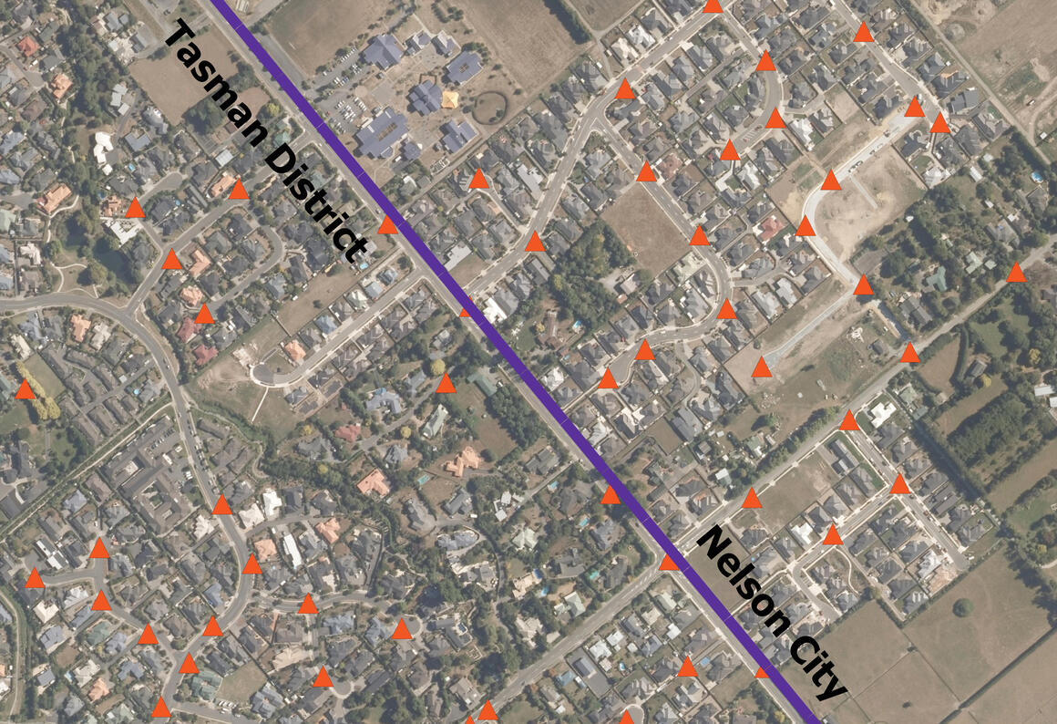
Image showing the distribution of NZVD2016 Benchmarks across the Tasman District and Nelson City Council boundaries