What to do
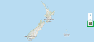
1. Choose the map layer option.
- Select the map icon on the right-hand side of the screen to change layers:
- Map shows parcels (in residential areas) and street names
- Satellite shows an aerial view.

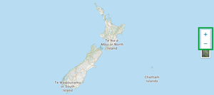
2. Zoom in to the required area on the map and select the land parcel you require.

- Zoom in to the required area on the map until the cursor turns into a hand. You can:
- select the +/- button on the right hand side of the screen to zoom in / out of the map
- click or double-click the map
- use the scroll wheel on the mouse
- use two fingers to pinch out on the map (if using a touch screen).
- To pan around the map, you can:
- click and hold while moving the cursor on the map (desktop computer users)
- pinch and hold and move your fingers on the map (if using a touch screen).
- Once you have located the land parcel you require, select it to open.