The map does not currently have full spatial functionality (such as searching for marks, nodes or vectors).
Choosing satellite or topo view to view the map
What to do
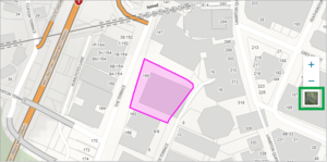
- Use the map icon on the right-hand side of the screen to to change between satellite and topo view:
- Topo shows parcels (in residential areas) and street names
- Satellite shows an aerial view.
Zooming in (or out) to the required area on the map
You have five ways of zooming in to the required area on the map:
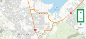
- Use the + / - buttons on the right-hand side of the screen
- Double-click on the map
- Use the scroll wheel on the mouse
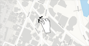
- On a touch screen, use your fingers to zoom in and out
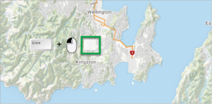
- Use the Shift key plus your mouse to draw an area on the map and zoom to it.
What to do
- Use the + / - buttons
- Select the + / - button on the right-hand side of the screen to zoom in / out of the map.
- Double-click on the map
- Hover your mouse over the area of the map you want to zoom in to, and double click using the left-mouse button. The map will automatically zoom into this area. Repeat this step until you are zoomed into the correct area.
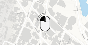
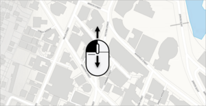
- Use the scroll wheel on the mouse
- Place your mouse cursor over the area you want to zoom in to and use the scroll wheel on the mouse to either zoom in or out.
- On a touch screen, use your fingers to zoom in
- On a touch screen, use your fingers on the screen to pinch inwards. This will zoom the map in to the area you are pinching. Repeat this process to zoom into the area you are after.
- Use your Shift key with your mouse to zoom into a region of the map
- Hold down the Shift key on your keyboard and then click and drag your mouse to draw an area around the part of map you want to zoom in on.
- When you release your mouse, the map will zoom to the area you have drawn.
Move (pan) around the map
You have a couple of ways to move (pan) around the map.
What to do
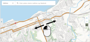
- You can click and hold the left-hand mouse button down while moving the cursor on the map (desktop computer users).
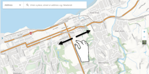
- Or touch the screen, and while touching the screen, move your finger on the map (if using a touch screen).
- Once you have located the land parcel you require, select it to open.