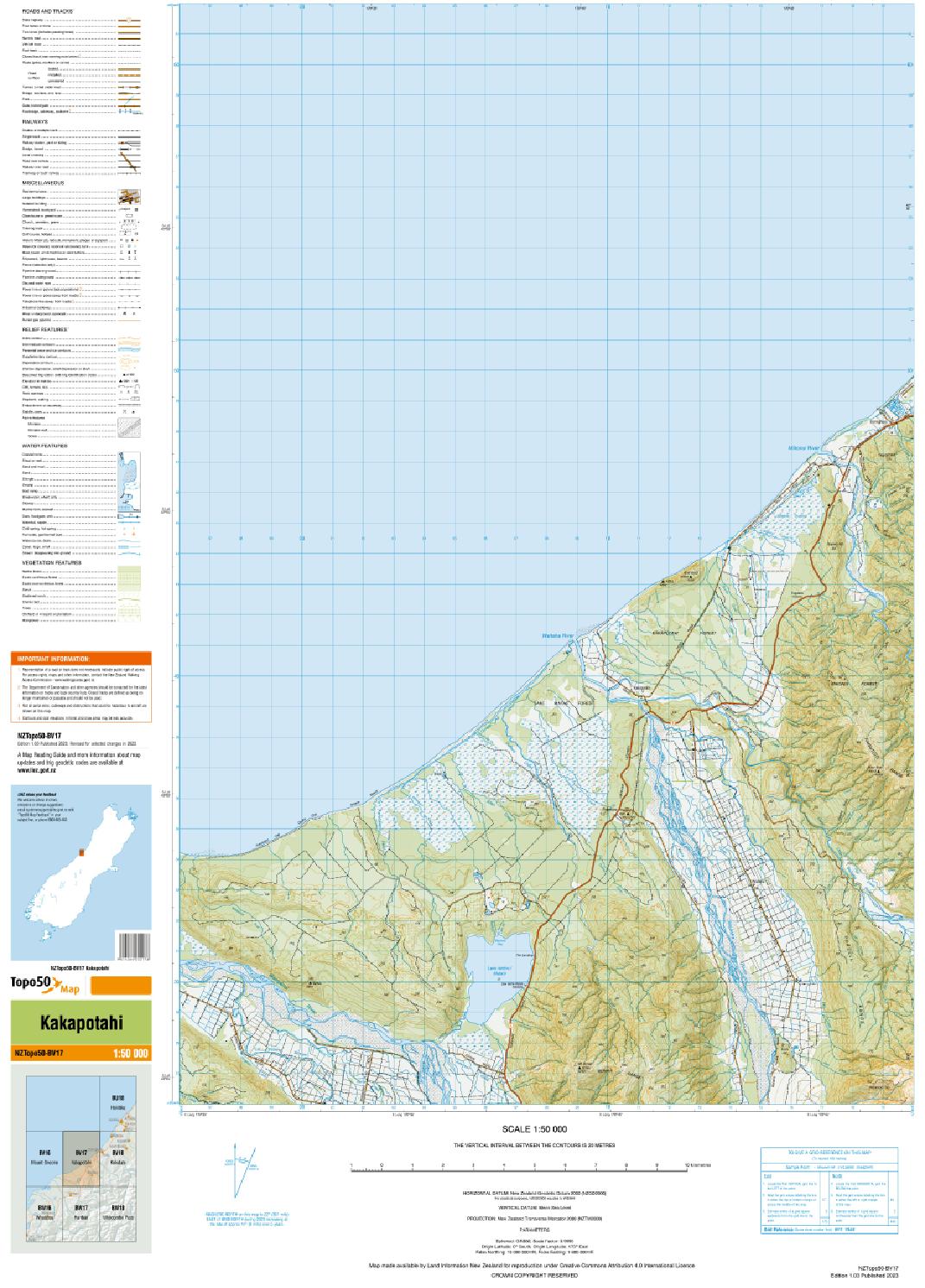
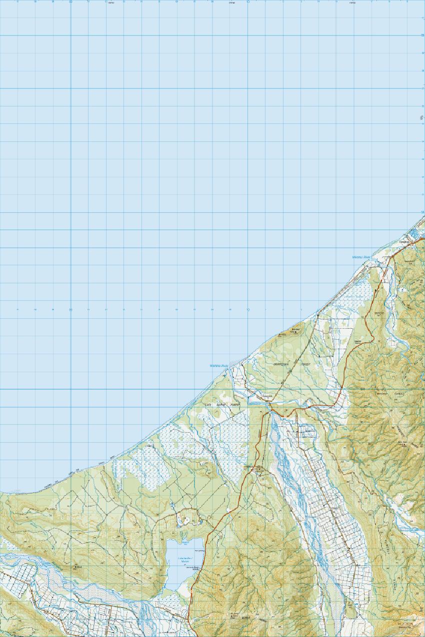
Map downloads
Note: these are large files and may take several minutes to download.
Shapefile downloads
Shapefile downloads are no longer available from the LINZ website and are only available from the LINZ Data Service. This is to streamline our publishing processes and bring you more flexibility in accessing our data.

