Latest news and updates from Toitū Te Whenua
An application for an easement on a South Island pastoral lease for the purposes of establishing a solar array has been granted.
NZMariner, the product name for the NZ raster navigational chart (RNC) series, will be withdrawn from service on 8 December 2023.
Land Information Minister Damien O’Connor has appointed new and returning members to the Cadastral Surveyors Licensing Board of New Zealand.
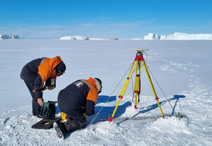
Seabed surveying of Tūranganui-a-Kiwa/Poverty Bay gets underway in early October and will help to update nautical charts of the area.
Applications are now open for Toitū Te Whenua Land Information New Zealand external tertiary GIS scholarships aimed at encouraging students into geospatial study.
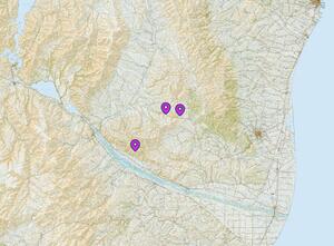
Ngā Pou Taunaha o Aotearoa New Zealand Geographic Board has officially named and defined the boundaries of two Waikato rural localities north of Huntly: Rangiriri and Whangamarino.
Ngā Pou Taunaha o Aotearoa New Zealand Geographic Board is proposing to make three “Meyer” place names official in the Waimate District.
This includes:
Issue 190
In this edition:
We’re making changes to how we support our non-residential land and property customers.
This month the first three ‘farm-to-forest’ conversion decisions under the new benefit to New Zealand test have been made. In addition, our next Ngā Hui Whakamārama online seminar, to be held in September, will include a reflection on these forestry dec