
Toitū Te Whenua has made 20TB of aerial imagery available for free for the first time in a cloud-optimised format on Amazon Web Services (AWS), making it easier and faster to access these large datasets over the internet.
It includes the latest high-resolution imagery of the Aotearoa New Zealand landscape and imagery flown for emergency response. Also included are historic images of farmland and forestry from the 1970s to the mid-2000s, ‘stitched together’ from multiple scanned files through a Ministry for Primary Industries project to show rural Aotearoa in a new light.

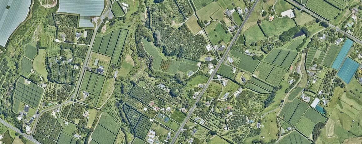
Orchards dot the Bay of Plenty plains.
A cloud-optimised format allows for more efficient processing, such as users being able to retrieve just the part of the image they need rather than downloading the entire file.
The approximately 400,000 images are available now on the Registry of Open Data on AWS, with support from the AWS Open Data Sponsorship Program. The registry provides unrestricted access to openly licensed datasets.
AWS’s sponsorship programme covers the cost of storage and data transfer for valuable publicly available datasets. The aerial images in the Toitū Te Whenua data bucket will continue to be available from the LINZ Data Service and Basemaps, the agency’s online channels for public imagery data.
Toitū Te Whenua Head of Location Information Aaron Jordan said aerial imagery was being captured at higher resolutions over larger areas as technology improved.
“We now have more than 20 individual surveys over 500GB in size, including high-resolution imagery covering 95 percent of the motu. Regional and local councils have gathered this data over many years and it’s historically important.”
By offering access via the cloud, Toitū Te Whenua has cut the time it takes for bulk retrieval of aerial data for analysis from several weeks to just one day, making it easier for people and organisations to access the data.
“When users are looking for bulk access to these massive files, they’ve previously either had to split them into multiple downloads or we have had to courier hard drives around the country. Making the data available through the cloud puts the user in the driver’s seat – they’ll have instant access to it whenever they want.”

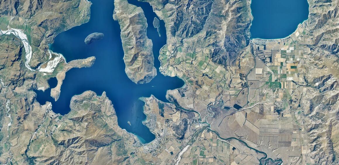
Birdseye view of Wānaka and Lake Hāwea, created by stitching multiple images together.
Mr Jordan said the aerial imagery maintained and shared by Toitū Te Whenua was widely used with tens of thousands of data requests a year.
“After Cyclone Gabrielle, councils used aerial imagery to assess damaged areas and decide how to prioritise their responses and it’s now helping with planning for future weather emergencies. Aerial imagery is invaluable for tracking land-use changes over time and better understanding the landscape we have now. The data has a huge range of uses, from research to property sales and from farming to engineering."
Media contact
Email: media@linz.govt.nz