Map Chooser - BM35
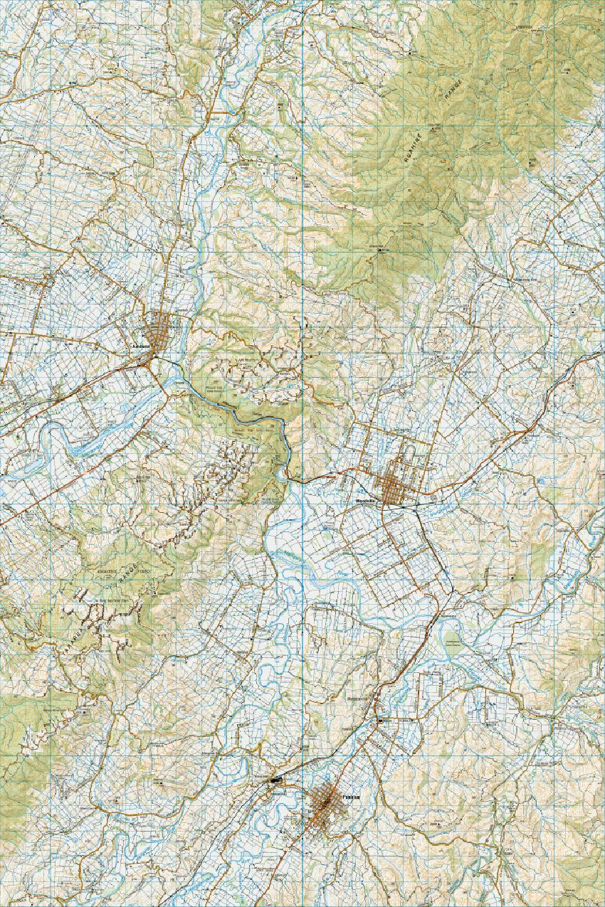
This view indicates the area covered for this region at 1:50,000 scale.
You’ll find options for downloading a 1:50,000 scale map of this area at the bottom of this page.
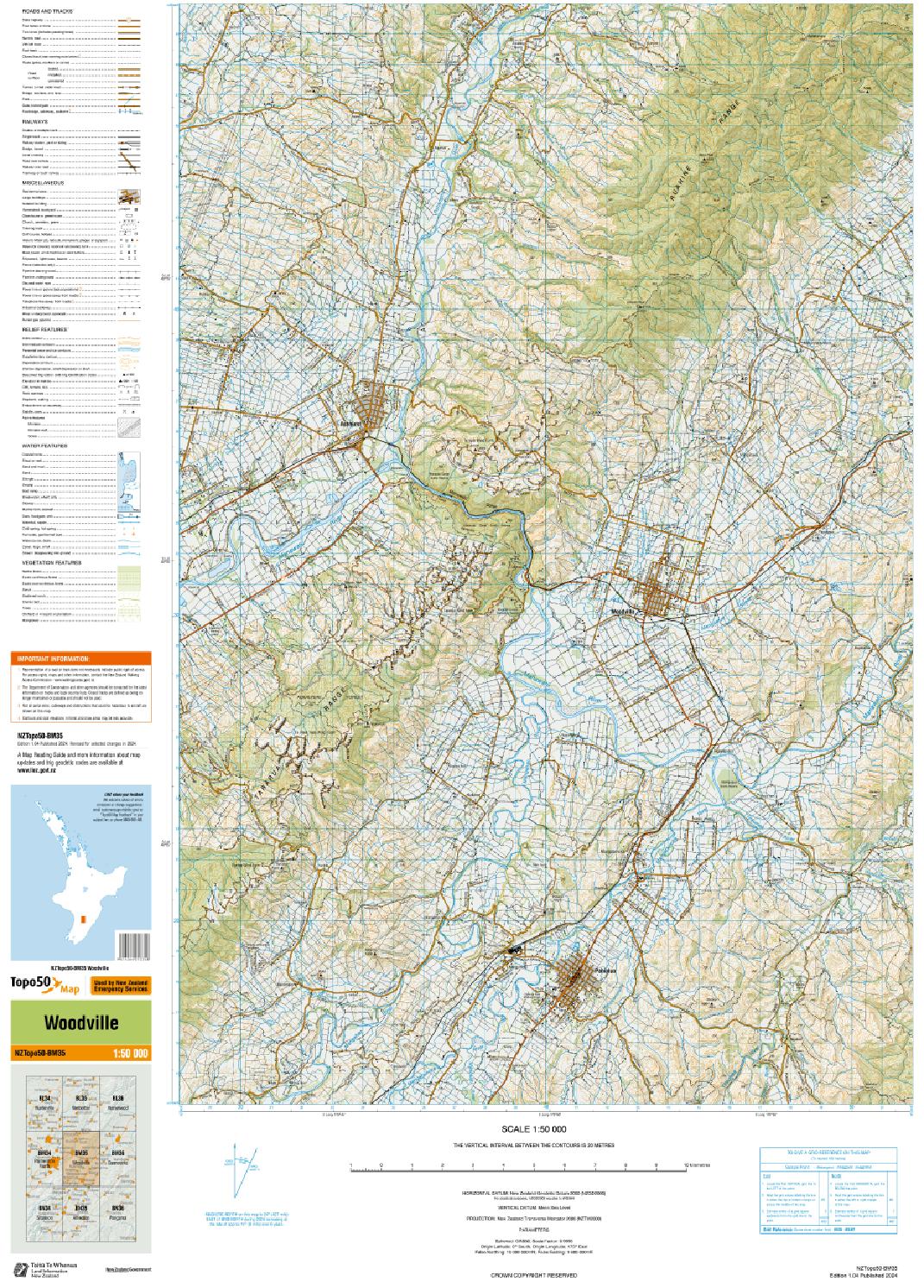
Topo50 map BM35 - Woodville
Updated:
30 July 2020


Image files:
- TIFF (~20 MB) Full map including the legend.
- GeoTIF (~138MB) Map area only (excluding the legend).
GeoTIFF data can also be downloaded from the LDS which offers better map viewing and custom cropping. - Topo50 map legend (858KB)
- Read important Topo50 information
Shapefile downloads
Shapefile downloads are no longer available from the LINZ website and are only available from the LINZ Data Service. This is to streamline our publishing processes and bring you more flexibility in accessing our data.