

View Whangaparāoa on Basemaps
Sourced from LINZ Data Service
under Creative Commons Attribution 4.0
Captured for the Auckland Council by NZ Aerial Mapping Ltd.
Image description
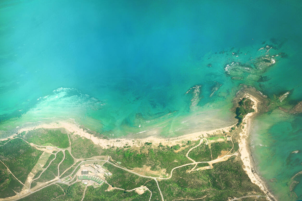
Whangaparāoa, Auckland Region
View Whangaparāoa on Basemaps
Sourced from LINZ Data Service
under Creative Commons Attribution 4.0
Captured for the Auckland Council by NZ Aerial Mapping Ltd.
Whangaparāoa, Auckland Region


