Skip to main content Skip to navigation
Back to top anchor
Civil defence logo. Support following Cyclone Gabrielle

View the latest information on what support is available on the Civil Defence website.

Info Symbol Cyclone Gabrielle

View information about the impact of Cyclone Gabrielle on our services.

  • Mō mātou About us
  • Kōrero whakapā Contact us
  • Whakapāpātanga Consultations
  • Rauemi Resources
  • Ara mahi Careers
Toitū Te Whenua Land Information New Zealand
  • Our work Ā mātou mahi
  • Products & services Ngā hua me ngā ratonga
  • Guidance Kōrero ārahi
  • News Karere
Pouto, Northland Region
Northland Region aerial photo

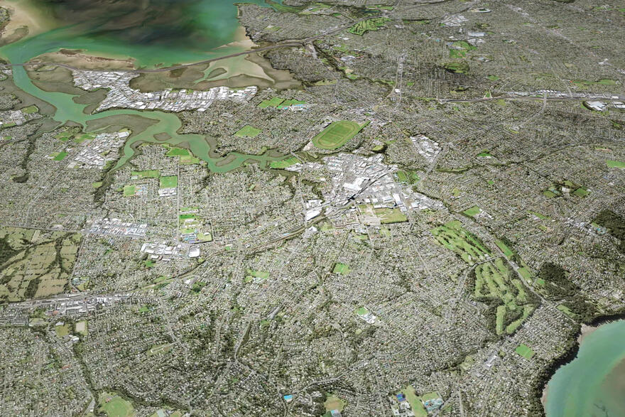
View Pouto Point on Basemaps
Sourced from LINZ Data Service 
Creative Commons Attribution 4.0
licensed by Northland Aerial Imagery Consortium (NAIC)

Pouto Point, Northland Region

Our work

Ā mātou mahi

We provide expert property and location information, manage Crown land and regulate overseas investments.

Scroll to content
  • Looking for an overview of our mahi and performance in 2021/22?

    View our latest annual report.
Southland region aerial view

Crown property management

Biosecurity, agency support, hazard management and Crown land disposals.
LiDAR 3D rendering Hutt City 2021

Location information

Our work helps people access information about where things are on the land, below the surface of the land, and underwater.
Auckland aerial image

Overseas investment regulation

We assess applications for consent and enforce compliance to make sure overseas investments are good for New Zealand.
Elevation model of Tōtaranui Queen Charlotte Sound

Property information system

The property information system brings together non-private information to help people and agencies make decisions.
Wellington CBD office windows

Statutory and support roles

The survey and legal framework supports land ownership and values. Statutory officers make sure this framework is working well.
Whenua motif

Māori and iwi development

We support Māori and iwi to access information about their land and natural resources.
Ngā Pou Taunaha o Aotearoa, New Zealand Geographic Board icon

New Zealand Geographic Board

The New Zealand Geographic Board Ngā Pou Taunaha o Aotearoa makes place names official so that there is an agreed name for a place.
Survey equipment, Ross Sea Region, Antarctica

Projects

Projects we’re working on. We often work with other experts to improve our services, investigate issues and share our data.
Top
  • Ā mātou mahi Our work
    • Crown property management
    • Location information
    • Overseas investment regulation
    • Property information system
    • Statutory and support roles
    • Māori and iwi development
    • New Zealand Geographic Board
    • Projects
  • Ngā hua me ngā ratonga Products & services
    • Charts
    • Data
    • Geodetic
    • Land records
    • Landonline
    • Maps
    • Maritime safety
    • Place names
    • Tides and tidal streams
    • Products and services A - Z
  • Kōrero ārahi Guidance
    • Crown property
    • Data service
    • Geodetic system
    • Land registration
    • Landonline support
    • Marine information
    • Overseas investment
    • Place naming
    • Property addressing
    • Property valuation
    • Survey
  • Karere News
Toitū Te Whenua Land Information New Zealand
  • Mō mātou About us
  • Kōrero whakapā Contact us
  • Whakapāpātanga Consultations
  • Rauemi Resources
  • Ara mahi Careers
  • Facebook
  • Twitter
  • LinkedIn
  • YouTube

© Copyright Toitū Te Whenua

  • Accessibility
  • Copyright
  • Disclaimer
  • Link requests
  • Privacy
Te Kāwanatanga o Aotearoa New Zealand Government