
Second edition - Tangata whenua place names
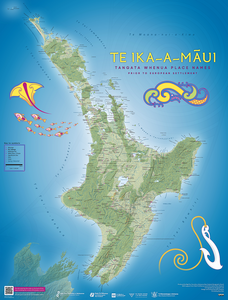
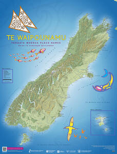
Download the second edition of the tangata whenua place names maps, or find out more about the background, design and process for corrections:
Maps of Te Waipounamu and Te Ika-a-Māui - second edition 2023
First edition - The Land and its People
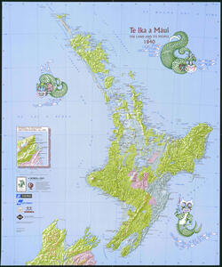
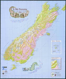
Read the history behind the first edition of the tangata whenua place names maps, including images from the draft designs and the launch of the maps:
Maps of Te Waipounamu and Te Ika-a-Māui - first edition 1995